Resumen
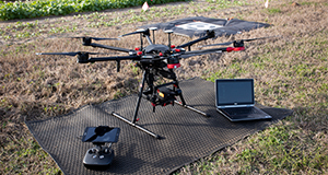
With the increasing use of unmanned aerial systems (UASs) in the agricultural domain, ensuring the consistency and completeness of aerial surveys is critical in order to establish repeatability and consistency in data collection activities. This publication covers five main steps to ensure that aerial data collections are repeatable and consistent among missions. It is one of a three-part series focusing on the applications, configuration, and best practices for using UASs in agricultural operations management. Written by Aditya Singh and James Fletcher, and published by the UF/IFAS Department of Agricultural and Biological Engineering, February 2021.
Unless otherwise specified, articles published in the EDIS journal after January 1, 2024 are licensed under a Creative Commons Attribution-NonCommercial-NoDerivs 4.0 International (CC BY-NC-ND 4.0) license.

