Abstract
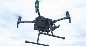
Remote sensing applications for agriculture often require periodically collected high-resolution data, which are difficult to obtain by manned flights or satellite imagery. This 6-page document provides guidance on the use of post-processing software to visualize data collected by unmanned aerial vehicles (UAVs) for agricultural
applications. It provides step-by-step instructions for using the data collected from a UAV flight to create several types of maps and indices. Written by Sri Charan Kakarla and Yiannis Ampatzidis, and published by the UF/IFAS Department of Agricultural and Biological Engineering, October 2019.
This work is licensed under a Creative Commons Attribution-NonCommercial-NoDerivs 4.0 International (CC BY-NC-ND 4.0) license.

