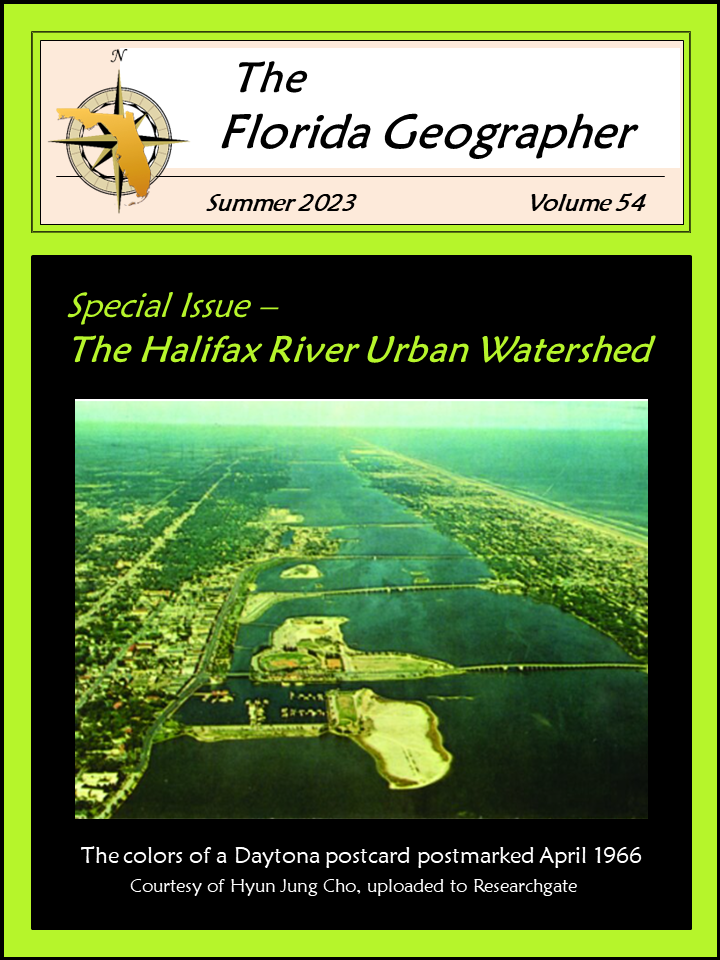
Urban Density Changes and Associated Flood Vulnerability in the Halifax River Watershed
Abstract
The Halifax River urban watershed is undergoing rapid socioeconomic changes that are interacting with natural hazards like coastal flooding driven by sea level rise. We employ a spatially explicit approach to examine changes in past and future land cover, explore the relationship with flooding associated with sea level rise, and discuss possible economic repercussions. We also make use of publicly accessible data related to land cover, population, and sea level rise projections to examine the potential for flooding associated with sea level to drive economic changes in the watershed. We predict significant development of land cover over time with more than 50 percent of the watershed potentially being developed in the next 50 years and about 1 to 13 percent of that development inundated if the current rate of sea level rise continues. When this development interacts with predicted sea level rise, there will be significant economic losses. This work can be leveraged to carry out larger-scale economic assessments in light of rapid urban sprawl and sea level rise.

